News & Events
Event
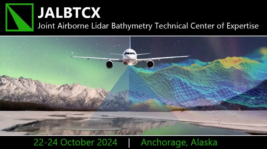
JALBTCX Airborne Coastal Mapping and Charting
AIRTEC was excited to participate in this Joint Airborne Lidar Bathymetry Technical Center of Expertise (JALBTCX) workshop event. JALBTCX performs operation, research, and development in airborne lidar to support coastal mapping and charting requirements of the U.S. Army Corps of Engineers (USACE), the U.S. Naval Meteorology and Oceanography Command, the National Oceanic and Atmospheric Administration (NOAA), and the U.S. Geologic Survey (USGS). We attended sessions and collaborated with leading experts to learn more about advanced airborne lidar, coastal mapping, and charting technology.
October 2024
Anchorage, Alaska

Loading…